UPDATE RESEARCH PAPER – Linking Solar Intensity With Temperature

Bright orange fiery sun with solar flares

This is just an addendum. I wrote a post on December 3rd research paper on the scientific link between sunlight or solar intensity and temperature. This research is proving out that the sun controls our environment, especially when it comes to sun intensity. The truth is that science reveals that based on the data collected over time.

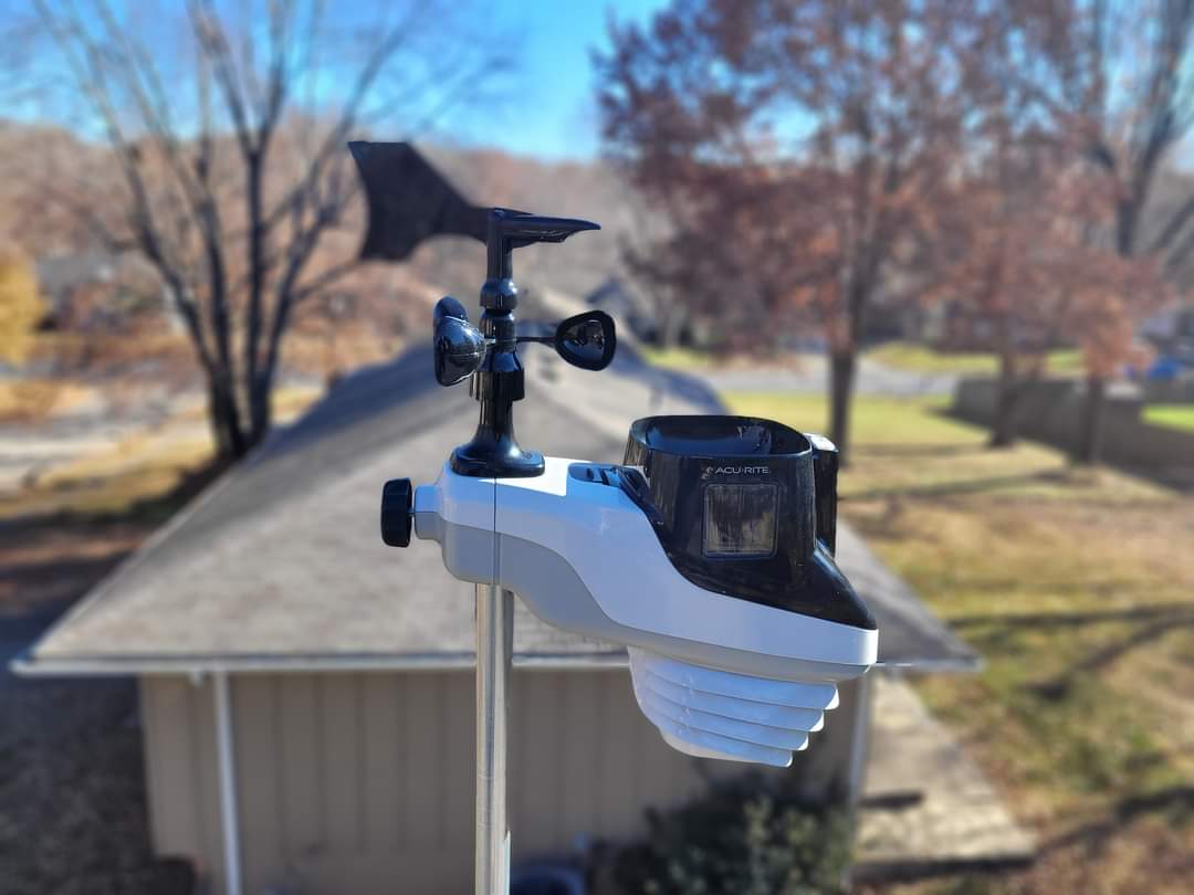
I continue to collect 30-day history from the AcuRite Atlas. The Solar intensity trends continue to follow the temperature trends according to the graphs below.

As we approach spring, the light intensity is trending back up. Solar intensity has gone from 47620 LUX on January 1, 2023, to 61120 LUX as of January 31, 2023. The length of daylight has slightly increased; we have gained about 48 minutes of daylight so far since January 1.

Conclusion

This research shows that light intensity determines the overall temperature. We may not see it match exactly with Solar Intensity, but over time, you see that the trends are the same. We should see an increase in our temperatures as we progress through 2023. We should begin to see the temperature trend shift flatten out as we progress.

As our solar cycle enters a Grand Solar Minimum, temperatures may continue to trend downhill or take longer to recover this year, making spring shorter during our transition. Only time will tell as I continue to collect the recorded data and light intensity from the Atlas. I will post an article explaining the Grand Solar Minimum and linking back to the scientific evidence that proves sunspots are linked to temperature and weather.

If you liked this post, please consider sharing it on your social media sites, or if you have your own blog, please consider linking back to my post. You can even provide some positive comments on my posts. This will get the word out with the truth. If you want to receive immediate updates to my posts via email, please subscribe. MP
Ice Ice Baby – Possible Significant Impact

I put ice twice in the title because we may have a possibility of two rounds of ice over a week and a half time frame. It has been a while since we have dealt with any ice. We will talk about that shortly. Here is our current Blue Springs Weather. As of 7:50 pm, the temperature is at 30.2°. Pressure is sitting at 30.02 inches and steady. Winds are out of the NNW at 9 mph. The relative humidity is at 81%. The dew point is at 27°. The skies are hazy.

Cold and Breezy

Make sure you dress for the environment tomorrow. The winds will be about 15 mph tomorrow, right at kick-off.

HRRR Wind Gusts 5 pm.

Conclusion

Tomorrow evening we will be getting it. If you are coming up from the South from the Adrian area and 49 highway, you will be dealing with some tomorrow morning around 8 am. Jackson County will be dealing with ice tomorrow night with a start time of 7 pm and will move north, where the rest of the county will be covered by 8 pm. Tomorrow temperature will be around 22° give or take, by 4 pm.

In the second round, if it holds out, is on Wednesday February 8th and it may be more debilitating. The Ice accumulation amounts may be as high as 0.21 inches for Jackson County. That is enough ice to cause serious driving issues, fallen trees, and power outages. Keep in mind that this particular time is a week and a half out, and it will have plenty of time to change.

That is pretty much it for today. Take care, everyone, and be safe tomorrow. MP.

Breezy and High Winds Today

Good morning. Here is today’s Blue Springs weather. The current temperature is 34.3°. Relative humidity at 69%. Pressure is at 29.94 inches and steady—Dewpoint at 27°. Winds are at 10 mph out of the south. Skies are clear at this time but will shift to cloudy, and there will be short periods of clear skies.

Forecast

Here is the latest forecast for today. The temperature will peak to about 49° today at 1pm and should melt the rest of the residual snow that we have. There is currently about 0.4 inches of snow left on the ground.

HRRR Models show a high of 49° by 1 pm today.

The main issue we will be dealing with today will be the winds. It is likely we will end up with a high wind advisory today. Winds will peak to about 46 mph between 9am and 11am today.

HRRR Wind Gust Models – Peak between 9 am and 11 am with gusts as high as 46 mph.

Conclusion

Tomorrow’s temperature will be around the mid to upper 50s but by evening the temperatures will begin to tank around 6pm and 7pm. Looks like temperatures will be in the teens by 6am Sunday morning,

HRRR Temperature 6am Sunday.

As far as precipitation goes, nothing is to be expected over this weekend. That is about it for today’s Blue Springs weather and Jackson County, take care and enjoy your Friday.

Winter Storm Round Two Tuesday Evening

Ready for round two? Here is the latest forecast for tomorrow’s Blue Springs Weather and Jackson County and its impact. Here is the breakdown.

Forecast

6 am Tuesday, System arrives with rain and temperature at 38 degrees.
11 pm Tuesday Rain shifts to snow. Some snow may be heavy.
The system leaves the area by 7 am Wednesday.

Liquid precipitation amounts are not much and look to be about 0.26 inches of precipitation.

Snow amounts for the HRRR models are a little over 1 inch for Jackson County and the Blue Springs area. The Weather Prediction Center shows a 10 to 40% chance of snow accumulations of 4 inches and higher. Don’t hold your breath. There is a 50-60% chance of snow accumulations of 2 inches or greater; for 1 inch or greater, we are at an 80-90% chance. So with those numbers, we are guaranteed 1 inch of snow and maybe a little more. I am sure these models will change again by tomorrow, and if they do, I will reach out again.

Conclusion

The impact will be minor to moderate, depending on the part of Jackson County you live in. The Downtown area is moderate.

That is pretty much it for today.

Significant Snow, Accumulations, and Sub Zero Temperatures

Good evening everyone,

Our current Blue Springs weather is as follows; Temperature is at 27.2 degrees, dew point at 25 degrees, and relative humidity 86% . Barometric pressure is at 30.09 inches and steady. Winds are at 6 mph out of the NW.

We may see significant snow possibilities on Wednesday the 25th, with a current start time of 6 am. Mind you; this is still a way out. It looks like snow amounts may be about 2-3 inches, give or take, according to the GFS.

Even though the GFS snow amounts show 2 + inches for the area, I do not think we will hit that unless something changes. We have about a 70% chance of snow amounts to 1 inch or more, and it drops significantly after that.

The next thing we have coming in will be January 30th. We will end up in sub-zero temperatures with a low of -1 at 6 am. So this coming week is going to be interesting. I will keep an eye on the systems and let you all know of any updates worth reporting. That is about it. Take care. MP

Rain Arrives Before The Game Snow After

Good morning Chiefs Kingdom. Here is the latest for Blue Springs Weather and Jackson County. Make sure you bring a rain jacket because it will start at 39 degrees for a high by about 2 pm, give or take. Winds will be minimal and well below 10 mph.

Rains arrive in Jackson County by 1 pm. By 2 pm, the rain will cover about half the county from the southwest corner to the northeast corner then by 3 pm; the entire county should be in the rain mode. By 6 pm, we will shift to snow.

We can expect a small amount of snow, based on the WPC. Although some parts of the WPC show a 95 percent chance of snow up to 1-2 inches around the Jackson County area, I don’t think the snow amounts will add up to much, even though it says 1-2 inches. It looks like Blue Springs is going to be split with more snow possible north of 7 highway and Summit Street.

Impacts will be very minimal and as long as you are driving carefully you should be fine.

That is pretty much it for today folks. Take care and GO CHIEFS! MP

Snow Amounts are Questionable

These crazy models are really jumping around a lot. The WPC shows a 95 percent chance of up to 1-2 inches. It may end up being a very minimal amount. The system still shows about a 1 pm start time for the West edge of Jackson County. The rest of the county will see it by 2 pm. This includes Blue Springs. Snow amounts will vary throughout the County.

We will have to wait and see.

Significant Winter Weather Change Round Three

Good morning, It looks like our accumulation of snow has moved far north along the edge of our county. According to the Weather Prediction Center the snow has completely shifted to a mix for Saturday and if there is any accumulation it may be around vegetation, but with what the WPC showing , don’t hold your breath on anything hindering driving unless you live along the northern edge of Jackson County.

WPC National Forecast Chart

Today’s high will only be 36 degrees give or take by 3pm today. Take care.

Significant Change For Saturday for Blue Springs Weather

Good evening. Here are the current readings for this evening’s Blue Springs Weather and Jackson County, Missouri. The temperature sits at 29 degrees with a barometric pressure of 30.15 inches of pressure. Winds are out of the west at 11 mph—a relative humidity of 76%. We had a high of 37 degrees and a low of 29 today—a dew point of 25 degrees.

Blue Springs Weather has changed significantly for tomorrow and Saturday. Unless something changes over the next 24 hours, we could see some accumulations, but those accumulations will be less than an inch of snow. I would be surprised if it is half an inch of snow. The start time has shifted to about noon on Saturday.

The models are showing over 1 inch but I would not count on that much. We have a 40-50% chance of 1 inch or greater, according to the Weather Prediction Center.

The high will only be about 34 degrees by 1 pm Saturday. The winds will be pretty calm—less than 10 mph.

Significant Snow Weekend. Get Ready To Shovel Chiefs Kingdom?

Good evening. It has been a while since I brought you an update. With the Chiefs and Eagles (Both my favorites) playing this weekend We may be dealing with some snow during the Chiefs game. In all reality, I want to see the Chiefs play the Eagles this season in the Super Bowl because I believe that would be a great game to watch. The 49ers is going to be a tough hurdle for all the teams playing. So I am not sure if the Eagles will make it, but they have in the past. We will just have to wait and see. Go, Chiefs, and fly Eagles fly!

Here is Blue Springs Weather this evening. So we have been dealing with a wet day today for most of the day and into the evening. According to the Acurite Atlas, We are currently sitting at 34.7 degrees as of 7:28 pm this evening. The current pressure sits at 29.62 inches. Winds are South at 6 mph. Relative humidity at 96% and dew point at 36 degrees. According to the Accurite rain gauge, we received 0.6 inches of precipitation at this time. No lightning strikes were recorded.

Blue Springs Forecast reveals a couple of things. Snow and rain. We may be dealing with snow first thing in the morning at about 7 am, with heavy snow possible by 8 am. The WPC shows no accumulation, but it may be focused on mostly vegetation if it does accumulate. I cannot rule it completely out.

It looks like we will be dealing with some Snow starting at about 3 pm Saturday, according to the GFS. Keep in mind this weather forecast can change. According to GFS, snow amounts are sitting at about 1.7 inches. Don’t hold to that since this is the GFS and can over-emphasize things. I will have a better update