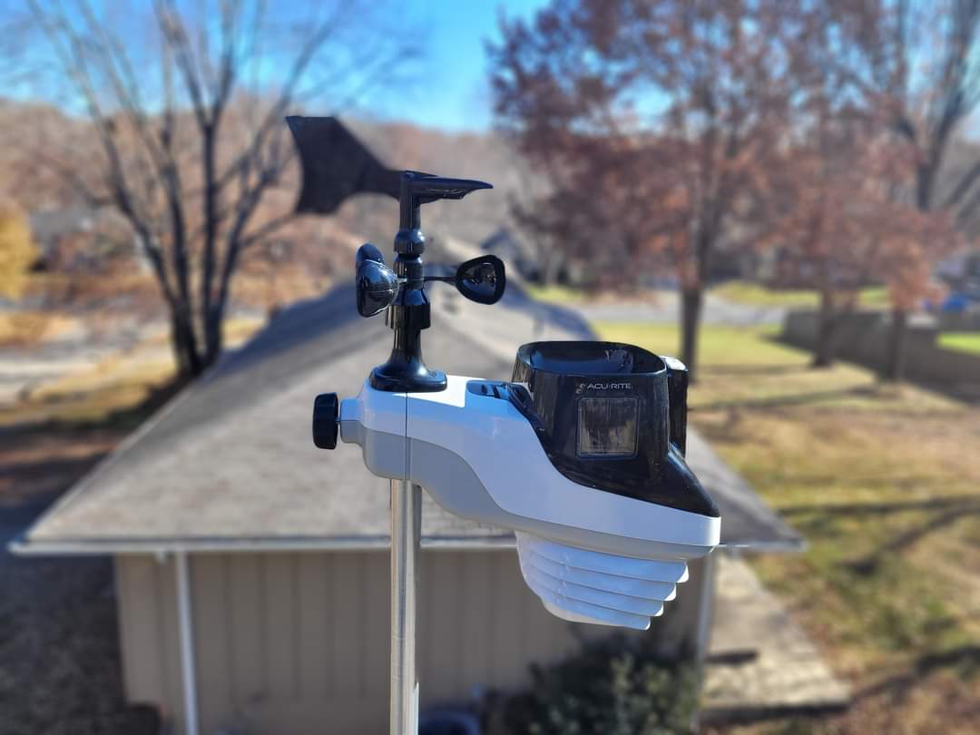
Good morning Blue Springs, I hope and pray that everyone had a good Friday evening, and that you all had a good night’s sleep. Jack Frost came and visited us last night, as we have some light frost on the grass.
CURRENT CONDITIONS
Temperature is at 35.1. We had a high of 54.1 and a low of 29.5. Relative humidity is 89%. Barometric pressure is 1024(30.24 inches) and steady. Winds are 0 gusting to 4 out of the Southwest. Dew point temperature is 30°. Skies are clear. No precipitation to report. Feels like 29°.
FORECAST
Today, temperature in the low 50s. Chance of precipitation 0%. Dew point temperature in the upper twenties. Skies will be clear.
Tonight, temperatures in the upper 30s. Chance of precipitation 0%. Dew point temperature in the upper 20s. Skies will be clear.
Sunday, temperatures in the upper 50s. Chance of precipitation 0%. Dew point temperature in the low 30s to upper 30s. Skies will be mostly clear.
Sunday night, temperatures in the low 40s. Chance of precipitation 0%. Dew point temperature in the upper 30s. Skies will be partly cloudy to mostly clear.
Monday, temperatures will be in the upper 50s. Chance of precipitation 2%. Dew point temperature in the upper 30s. Skies will be partly cloudy to mostly cloudy.
Monday night, temperatures in the upper 30s. Chance of precipitation 5%. Dew point temperature in the upper 30s. Skies will be partly cloudy to mostly cloudy.
MODEL DISCUSSION
This weekend will be beautiful, with no precipitation. Monday morning at about 4am, we may have a small bout of precipitation move in. Models right now show no signs of precipitation, but there will be some clouds hovering about that could bring some. What system should be out by 10am. Jackson County could get clipped by another small system passing through on Tuesday morning at 1am November 5th. This may not produce anything but it is just something to know. Tuesday night into Wednesday morning could bring us some precipitation in the form of rain. This system should be out by 7am Thursday morning. A larger system will be passing through on Sunday November 10th after about 2pm. Bringing rain throughout the day and evening hours. The back side of the system could bring some ice and snow around 10pm on November 11th. The system should be out before 4am Tuesday November 12th.
That’s pretty much it for today. The weekends going to be nice to be able to get the yard mowed and do whatever else. Enjoy your weekend and talk to you soon.
