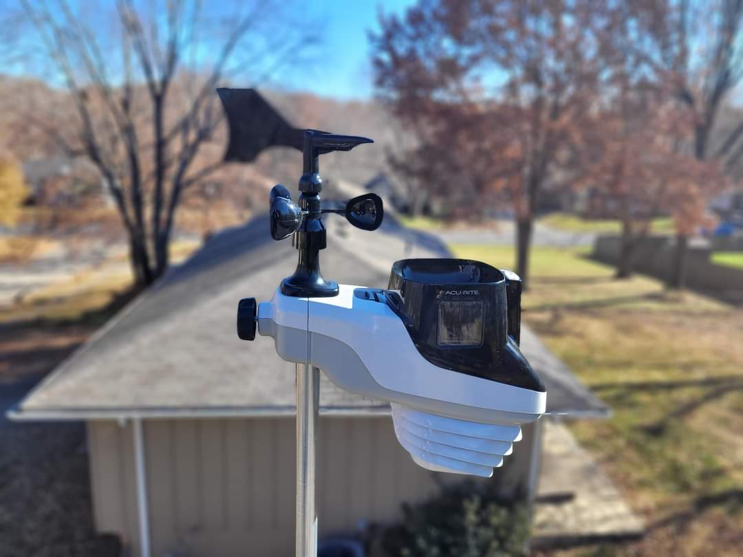
Good morning Blue Springs! Happy Thursday. Another clear crisp morning. Heavy Dew on the grass and rain gauge. No precipitation to report. The Moon and the constellation Orion is high in the sky. Saturday to Monday will be wet so if you have to mow the grass today and tomorrow will be the best time to do so.
CURRENT CONDITIONS
Temperature is 39.1°. We had a high of 55.4 and a low of 38.1 over the past 24 hours. Relative humidity 99%. Barometric pressure 1015(29.97 inches) and steady. When’s at 0 gusting to 2 out of the west southwest. Dew point temperature is 37°. Feels like 34°.
FORECAST
Today, temperature will be in the upper 60s. Chance of rain 0%. Dew point temperature in the upper 40s. Skies will be clear.
Tonight, temperatures in the low 50s. Chance of rain 0%. Dew point temperature in the upper 40s. Skies will be mostly cloudy by 4am.
Friday, temperatures in the low 70s. Chance of rain 4%. Dew point temperature in the upper 40s. Skies will be mostly cloudy shifting to clear by 4pm.
Friday night, temperatures in the low 50s. Chance of rain 55%. Dew point temperature in the low 50s. Skies will shift to mostly cloudy to cloudy by 1am. Rain possible.
Saturday, temperatures in the upper 60s. Chance of rain 24%. Dew point temperature in the low 50s shifting to upper 40s by 4pm. Skies will shift to mostly clear by 10am.
Saturday night, temperatures in the upper 40s. Chance of rain 3%. Dew point temperature in the upper 40s. Skies are clear.
CONVECTIVE OUTLOOK
Convective outlook for today shows no chance of severe or non severe thunderstorms. Friday into Saturday we have a chance of non severe thunderstorms. Saturday there is no chance of non severe or severe thunderstorms.
MODEL DISCUSSION
Currently models show a start time for precipitation about 1am Saturday morning. It should come to an end about 9am. The GFS model chose a start time around 2am in the morning, and continuing up until 4pm. Will get a more accurate time frame the day before or the day of. Another round of rain is possible starting around 4pm Sunday, ending by 1am Monday. Looks like we will have a cold front come in on October 25th. It will be 38° by 7am.
It looks like towards the end of the month, there is a substantial cold front moving in causing temperatures in the morning hours to be in the upper 30s. Temperatures will drop into the low 30s by October 29th with 40s during the day. October 30 drops into the twenties in the morning. Then low 30s in the morning of October 31st and temperatures in the upper 40s during the day into the evening.


Remember I talked about October 20th having snow? It is no longer in the forecast. Once again that’s tells you how quickly models can change from day-to-day. This gives you a good idea from a news media standpoint, that models are not reliable, until about the day of. Taking this into consideration, the hype of the weather from the media can be ignored. You do not need to have a degree to look at weather models. Maybe in the near future I will do a video series on how you can do your own predictions and weather readings so you too can be set free from the weather media hype. It is truly really easy to do.
That is about it today. Have a safe trip to work. Enjoy your Thursday.

