Customize Consent Preferences

We use cookies to help you navigate efficiently and perform certain functions. You will find detailed information about all cookies under each consent category below.

The cookies that are categorized as "Necessary" are stored on your browser as they are essential for enabling the basic functionalities of the site. ... 

Always Active

Necessary cookies are required to enable the basic features of this site, such as providing secure log-in or adjusting your consent preferences. These cookies do not store any personally identifiable data.

No cookies to display.

Functional cookies help perform certain functionalities like sharing the content of the website on social media platforms, collecting feedback, and other third-party features.

No cookies to display.

Analytical cookies are used to understand how visitors interact with the website. These cookies help provide information on metrics such as the number of visitors, bounce rate, traffic source, etc.

No cookies to display.

Performance cookies are used to understand and analyze the key performance indexes of the website which helps in delivering a better user experience for the visitors.

No cookies to display.

Advertisement cookies are used to provide visitors with customized advertisements based on the pages you visited previously and to analyze the effectiveness of the ad campaigns.

No cookies to display.

Current Weather Conditions, Upcoming Rain, and Possible Strong Storms.

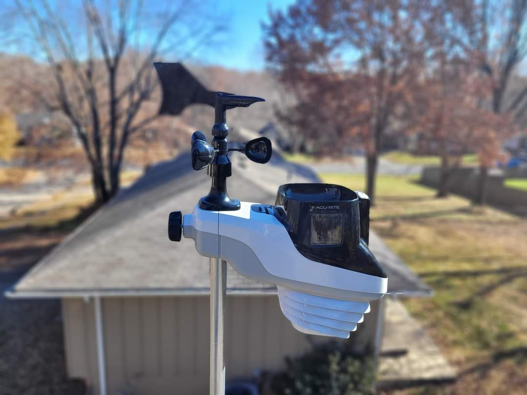
Good evening. Here is the current Blue Springs Weather. Rain is on the horizon, but here is the current weather. According to my AcuRite Atlas, The current temperature is 49 degrees. Relative humidity 76%. Dew point at 45 degrees. Barometric pressure 29.92 inches. Winds are NE at 6 mph. We had a high of 55 and a low of 32. The skies are mostly cloudy.

Monday will be a Low of 44 by 6 am and a high of 59 by 9 pm. Rain is likely to start about noon tomorrow, according to the HRRR. It will continue into the evening off and on. It looks like the heavier rain will be towards the end of the day. Rain amounts are around half an inch to three-quarters of an inch.

The SPC shows a marginal chance of severe weather and thunderstorms tomorrow. We have a 5% chance of damaging winds and large hail. Tornados are less than 2%. Looking at the convective most unstable (MU) convective available potential energy (CAPE), it does not look like the system will be too awful strong. We may hear some thunder and see some lightning, but from what I see, this system is not going to be too bad. I would not be surprised if they downgrade us.

Here is the latest on temperatures through out the week.
Tuesday Low of 47 by 9 am and high of 51 by noon.
Wednesday’s Low of 31 by 6 am, and the high of 41 by 3 pm.
Thursday Low of 26 by 6 am and a high of 37 by 3 pm.
Friday Low of 29 by 6 am and a high of 44 by 3 pm
Winter Snow Spring Temperatures

Good evening. Here I sit, checking out the weather to see when we will be out of this crazy Arctic freeze. I was encouraged to see that the last half of next week will be spring-like weather. We will talk about that here in a few moments. For now, let’s take a look at our current conditions.

Current Conditions

Tonight’s observation as of 9:27 pm shows the current temperature of 6 degrees with a pressure of 30.45 inches and steady. Likely some of you may be dealing with some pain. Winds are at 15 mph NNW and breezy. The relative humidity is 64%, with a dew point of -2 degrees. The air is very dry. In fact, the static is ridiculous in my home. The skies are clear.

[wunderground location=”Blue Springs, MO”]


We have a chance of snow on Monday at midnight. Snow amounts, according to GFS, may be up to 0.4 inches of accumulation

We will soon begin to thaw out finally. I am about tired of the snow and cold weather. We will begin to warm up on Wednesday with temps about 51 degrees. Thursday is the warmest, with the temperature in the week at 66 degrees, give or take by 3 pm. Winds should begin to die down over the next couple of hours.

That is about it for now. Take care. MP

Morning Observations / Forecast December 18 2022

Good morning. We have winter weather approaching us over the next 24 hours or so. Today’s observation as of 07:24 am shows the current temperature of 12 degrees with a pressure of 30.31 inches and steady. Winds are at zero. The relative humidity is 82%, with a dew point of 10 degrees. The air is arid. The skies are clear. I reported a trace of snow from the very light spitting of flurries yesterday with no accumulation.

Today’s Forecast is pretty uneventful. The temperature today will be a high of 37 degrees, give or take, by 3 pm. Winds will be calm today and less than ten miles per hour. Skies will clear up until about 4 pm and shift to overcast.

HRRR Temperature 3 pm.
Cloud Cover at 4 pm.

Here is an update on the winter weather approaching us this week. It looks like there may be two rounds of snow this week. The first round looks to arrive around 6 am for GFS, 7 am for RAP, and 9 am for NAM Monday, and it seems like straight snow with no transitions. Snow amounts show about a 50 percent chance of 1 inch or greater. Based on the WPC and the model’s accuracy, my determination is that it will be less than an inch unless something changes. The National Weather Service says 1 inch for the Blue Springs area. Some parts of Jackson County may see 1 inch of snow. The start time depends on which long-range model you look at. We will find a better accurate start time this evening as HRRR comes into view for tomorrow morning.

GFS 7 am Monday
RAP 8 am Monday
NAM 9 am Monday
WPC Snow Probabilities for Jackson County and Blue Springs area.

The temperature looks to reach about 38 degrees by 3 pm Monday. So there is a good chance that the snow will be mostly melted by the end of the day on Monday if it holds out. The GFS model shows a slightly lower temperature at 34 degrees. Again, we will get a better and more accurate reading this evening. Keep watching Facebook.