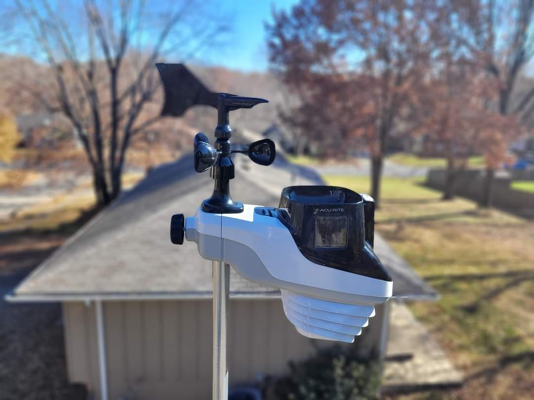
Good morning Blue Springs! It is Monday. Rain has moved out. Skies are clear. Everything is wet from the system that move through. Pretty sure it was a quiet night, and just rain unless I slept through it all.
CURRENT CONDITIONS
Temperature is 49.8°. We had a high of 65.3 and a low of 42.5 over the past 24 hours. Relative humidity 99%. Barometric pressure is 997(29.44 inches) and falling. Winds are at 2 gusting to 7 out of the Southwest. Dew point temperature is 49°. We received .66 inches of rain with a pH of 8. We had 125 lightning strikes over the past 24 hours. 36 of those lightning strikes were received after midnight last night. Feels like 49°.
FORECAST
Today, temperatures in the upper 50s. Chance of rain 2%. Dew point temperature in the low 40s. Skies will be clear shifting to mostly cloudy by 1pm.Tonight, temperatures in the low 40s. Chance of rain 2%. Dew point temperature in the upper 30s shifting to the low 30s by 4am. Skies will be mostly cloudy shifting to clear by 1am Tuesday morning.Tuesday, temperatures in the low 60s. Chance of rain 0%. Dew point temperature in the low-to-mid 30s. Skies will be clear.Tuesday night, temperatures in the low 40s. Chance of rain 0%. Dew point temperature in the mid-30s. Skies will be clear.Wednesday, temperatures in the upper 60s. Chance of rain 2%. Dew point temperature in the upper 30s shifting to the low 40s by 4pm. Skies will be partly cloudy to mostly cloudy.Wednesday night, temperatures in the low 40s. Chance of rain 17%. Dew point temperature in the low 40s. Skies will be cloudy to mostly cloudy.
CONVECTIVE OUTLOOK
Convective Outlook shows no chance of severe or non severe thunderstorms over the next three days.
MODEL DISCUSSION
Our next chance of weather will be on Wednesday October 23rd, but I’m thinking that it’s not going to produce anything because precipitation and simulated reflection do not match. We will have to wait until we get closer to that day to see if it’s going to do anything or not. Timeframe shows about 7am ending about 4pm. But with the inconsistencies at this time, it may be nothing. October 24th at 7 a.m. looks like a possible chance of rain, but again don’t know the details until we get to that point.Then there is October 29th into 30th, snow chances or still in that forecast. The system starts off as rain. In some areas ice, shifting to snow on the backside of the system. I would say the snow shift will start about 7am Wednesday morning.Models are still changing constantly, but our snow chances look promising for the end of October. Have a good day and be safe.


