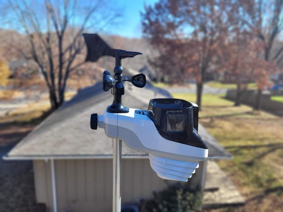
Good morning Blue Springs! Happy Sunday.Heavy dew on the rain gauge this morning. We had the fireplace cleaned out and the chimney checked over yesterday. Change my wife’s oil. Got the generator out and tested it, added some fuel stabilizer to the fuel. Put up a few Halloween decorations. Though I think they will be buried in the snow on the 31st. We may end up with candy left over, if we ever get any trick-or-treaters. It is going to be a very cold day on the 31st.
CURRENT TEMPERATURE
Current temperature 40.8°. We had a high of 58 and a low of 35.8 over the past 24 hours. Barometric pressure is 1009 and Rising. Relative humidity 99%. Winds are at 0 gusting to 2 out of the south-southwest. Dew point temperature 38°. Feels like 36°. No precipitation to report.
FORECAST
Today, temperatures will be in the upper 50s. Chance of precipitation 3%. Dew point temperature in the low 40s. Skies will be clear.
Tonight, temperatures in the low 40s. Chance of precipitation 17%. Dew point temperature in the low 40s to upper 30s. Skies will shift to mostly cloudy to cloudy.
Monday, temperatures in the low 40s. Chance of precipitation 33%. Dew point temperature low 30s. Skies will be cloudy.
Monday night, temperatures in the upper 20s. Chance of precipitation 52%. Possible rain snow mix. Dew point temperature in the low 30s. Skies will be mostly cloudy shifting to partly cloudy by morning.
Tuesday, temperatures in the low 40s. Chance of precipitation 16%. Dew point temperature in the upper 20s. Skies will be mostly clear to partly cloudy.
Tuesday evening, temperatures in the low 30s. Chance of precipitation 49%. Dew point temperature in the low 30s. Skies will be cloudy.
MODEL DISCUSSION
Lots of things going on in the models this coming week. Starting with tonight we have a small system that will be coming in by about 9pm bringing some Trace rain, increasing throughout the day Monday and into Tuesday morning. There could be a possible rain snow mix around 10pm Monday. The entire system should end by about 4am Tuesday morning. Another system kicks back up about 1am Wednesday morning, with a possible mix of rain and snow starting off. Then a bout of ice at about 10pm Wednesday night then shifting over to snow throughout the day Halloween. It also looks like temperatures will not reach above upper thirties throughout the day. Temperatures really start to tank as the sun goes down, with temperatures dipping to the low 20s. Snow accumulations are still pretty weird and I don’t trust them. Once again they are showing 6 to 7 inches of snow in our area. It is still really too far out anyways. models are staying pretty consistent that we are going to get some snow.
I would at least have some calcium chloride and your snow shovel and or snowblower ready and easily accessed. If you have a fireplace make sure you got plenty of wood, because it looks like we will be in winter temperatures sooner than expected.
have a great day of worship if that’s what you do. Enjoy your day today and be careful.
